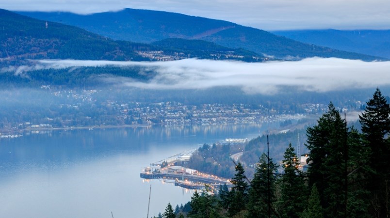
The Tri-Cities forecast calls for cloudy skies with a chance of flurries and rain throughout the morning before sun kicks in Friday afternoon.
Yesterday, Environment Canada predicted that the skies would clear into a mix of sun and cloud on Friday, after the region was treated to wet snowfall for days. However, a recent update calls for a 70 per cent chance of flurries or rain showers changing to a 30 per cent chance near noon.
“The atmosphere is still unstable today, but it is starting to clear,” said Environment Canada meteorologist Matt MacDonald. ” We had an unstable air mass over the south coast that was producing highly localized weather patterns. As a result, we saw particular regions, such as the upper reaches of Coquitlam in Anmore and Westwood Plateau, have up to 30 cm of snowfall. ”
MacDonald notes that there were also 24 lightening strikes off the south coast yesterday, too.
“This highly localized patterns produced downbursts of cold weather yesterday that resulted in highly erratic weather. While Coquitlam saw accumulations of anywhere from 15 to 30 cm, Surry only saw about four or five, and Vancouver saw one or less.”
He adds that the weekend forecast looks sunny and bright, as the skies are predicted to clear as the day carriers on.

February 2019 was the coldest February on record in Metro Vancouver since the records began in 1937. Not only did the month see some frigid temperatures, but they also persisted throughout the month.
Although February saw the coldest temperatures to date, it also saw some of the greatest amounts of snowfall. In fact, 31.2 cm of snowfall was recorded at YVR, making it the eighth snowiest February on record.
— With files from Elana Shepert


