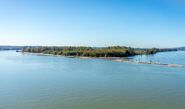
Lower Mainland residents and visitors can now access Barnston Island as the current threat of potential flooding has subsided.
Metro Vancouver rescinded its evacuation alert at 10 a.m. today (July 6) for the small island between Surrey and Maple Ridge that houses 111 people — primarily farmers — after it was in place for six days.
However, officials say Barnston Island Regional Park is still closed due to recent localized flooding.
In an update, the regional authority says its Fraser River Mission gauge peaked at nearly six metres on Tuesday (July 5) and water levels have since continued to drop.
The BC River Forecast Centre adds its predicting floodwaters to steadily recede in the days ahead, despite maintaining a high streamflow advisory for the Lower Fraser River.
Experts believe the threat of flooding in local tributaries is still alive as snow continues to melt across B.C.'s interior.
Metro Vancouver declared a local state of emergency for Barnston Island on June 30, in collaboration with the Katzie First Nation, in warning residents of potential flooding from upriver snowmelt.
In an earlier interview, authority spokesperson Greg Valou told Glacier Media that residents should take protective measures to secure their property.
This included moving livestock and pets to a safe location as, in the event of an evaucation order, people would be prioritzed over animals on the local ferry.
Valou estimated 500 cows, 50 sheep, 20 goats, more than 50 dogs and other livestock are housed on Barnston Island.
Barnston Island is located in Electoral Area 'A' of Metro Vancouver, which also includes UBC, the area west of Pitt Lake and parts of Howe Sound — among others.
For more information, you can visit Metro Vancouver's website.
- with files from Stefan Labbé, Glacier Media, and The Canadian Press


