How much density should be allowed in the Oakdale neighbourhood?
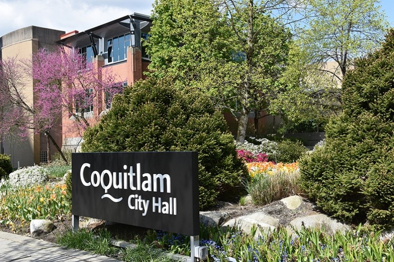
That is a question the city of Coquitlam is asking residents as it prepares for a public consultation on land use concepts for the area. Three options are being proposed, each with an increasing level of density, ranging from detached homes and low-rise apartments (Option 1) to townhomes and transit-village commercial (Option 3).
The proposed land-use plan will “guide development in the Oakdale area for the next 25 years,” according to a staff report.
The city said a public consultation process will begin in September, complete with an online survey, a community information session and direct stakeholder engagement.
The land use concepts can be seen at www.coquitlam.ca/oakdale.
An update for the area was initially planned to be included in the larger Burquitlam-Lougheed Neighbourhood Plan, which was adopted in 2017.
However, during the public consultation for the BLNP, the response from Oakdale residents was largely negative and city staff decided to move ahead with the plan without including the neighbourhood.
After the BLNP was approved, residents came back to city hall seeking increases in density for their area.
Last year, staff took initial public consultation steps, which were met with more enthusiasm from area residents.
“We realized during the Burquitlam-Lougheed Neighbourhood Plan process that there was no consensus on Oakdale,” said Andrew Merrill, Coquitlam’s manager of community planning, in an interview with The Tri-City News last year. “They are the missing piece to the plan.”
Oakdale has roots that go back to the mid-1800s, when farmers grew produce and livestock on their land to sell at markets in New Westminster, then the capital of B.C. North Road, which was then about two blocks west from today’s location, was also used by the Royal Engineers to get from the Royal City to Burrard Inlet in Port Moody.
In the 1960s, Oakdale changed from agricultural land to residential and most of the homes built then remain today.


