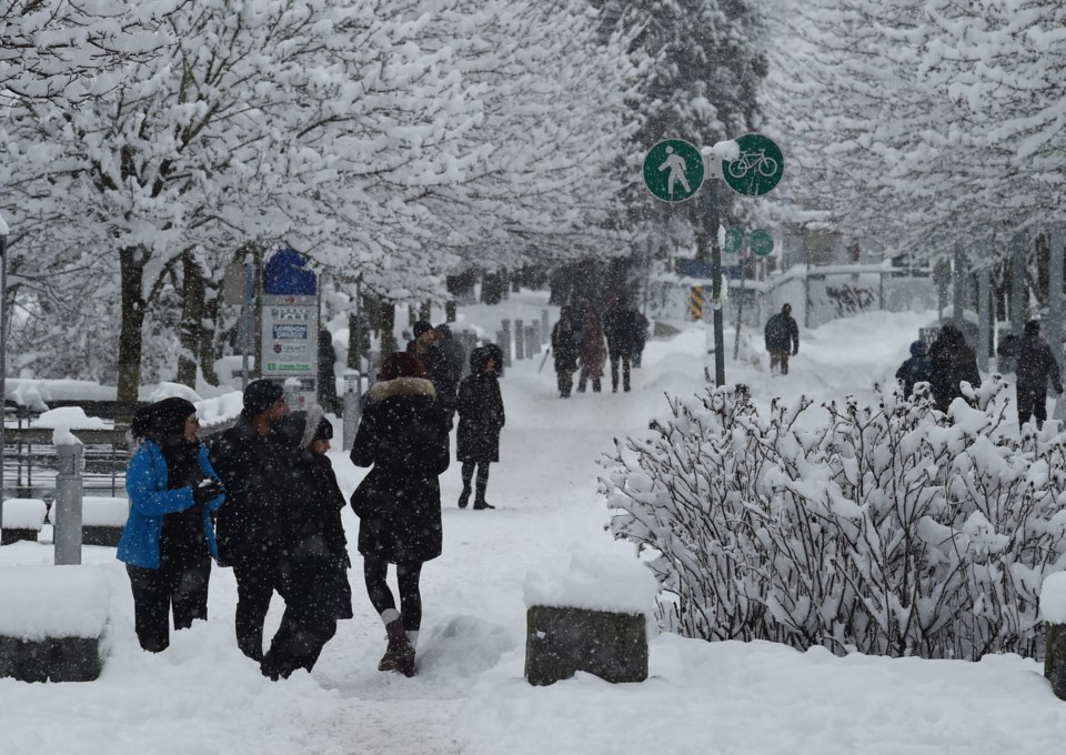
Snowfall is expected to ease in the Lower Mainland but locals shouldn't count on warmer conditions anytime soon.
Environment Canada Meteorologist Alyssa Charbonneau told V.I.A. flurries are expected to persist through Tuesday, Feb. 4 and into Wednesday, although significant snowfall isn't expected.
"There's a 60 per cent chance of flurries through the day [on Tuesday] and a 30 per cent chance of flurries overnight [into Wednesday]," she explained, adding that there was also a "slight chance" of snowfall accumulations.
Charbonneau said this situation is "inherently a tricky one to forecast" because the low-pressure system off Vancouver Island brings bands of moisture to the Lower Mainland. Rather than one widespread system, it only affects some areas, making the timing and amounts of precipitation harder to predict.
"We knew there would be snow but it was hard to pinpoint where and when," she added, noting that some areas of the region saw significant snowfall on Sunday and Monday while others saw sparse flurries.
For example, by noon on Sunday, parts of West Vancouver received up to 24 cm of snowfall while Downtown Vancouver had around 10 cm. Other areas, such as Ladner, only received a dusting.
Metro Vancouver weather forecast includes freezing temperatures
All the weather department's models indicate a "drying" trend in the Lower Mainland. Snowfall is expected to wane on Wednesday and Thursday is expected to be dry. However, localized flurries can produce high accumulations, Charbonneau explained.
"We are expecting isolated flurries and not much accumulation [of snow] but people should be prepared. There is snow on the roads and it is icy. Be prepared for winter conditions," she added.
Temperatures are expected to remain several degrees below seasonal averages through the week, with overnight lows between -4 C and -6 C. Tuesday's overnight lows will feel significantly cooler, as wind gusting 15 km/h makes them feel as cold as -10 C.
Parts of the Howe Sound and Fraser Valley will feel dramatically colder. Arctic outflow warnings have been issued for these areas, as powerful winds make temperatures feel as cold as -20 C.
"Frostbite and hypothermia can occur within minutes if adequate precautions are not taken when outdoors," advises Environment Canada.
Charbonneau adds that people travelling just south of the border to Bellingham or other parts of B.C. may encounter significant snowfall. Travellers should check the weather forecasts for their full route before embarking on a journey, regardless of the distance.
Road conditions in Metro Vancouver may not improve significantly once the snowfall ends. Since the Arctic airmass will remain in place, temperatures won't rise enough to melt any accumulations.
"Even if we have sunshine during the day conditions will refreeze overnight," she noted.
Stay up-to-date with hyperlocal forecasts across 50 neighbourhoods in the Lower Mainland with V.I.A.'s Weatherhood.


