Environment Canada is warning residents of the Tri-Cities of the first heat wave of the season starting Sunday, July 26.
In a special weather statement issued early Saturday morning, meteorologists for the federal agency said a ridge of high pressure is expected to build over southern B.C. this weekend, producing the highest temperatures so far this summer.
The heat wave is expected to cover all of the Lower Mainland, including the northeast, an area that encompasses Coquitlam, Port Coquitlam, Port Moody and Maple Ridge. The Sea to Sky corridor and Vancouver Island ware also expected to feel the crush of hot weather.
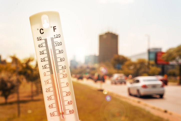
“Daytime maximums will reach the low 30's on Sunday and Monday,” noted the Environment Canada bulletin. “Temperatures will start to lower on Tuesday as the ridge weakens allowing slightly cooler marine air to invade the south coast.”
But while thermometers are expected to hit up to 30 C, the air in inland parts of the Tri-Cities is expected to feel like 37 C, according to the Weather Network.
Environment Canada is advising the public to take the following measures to reduce their exposure to the heat:
- Stay hydrated, especially in late afternoon when the sun is hottest
- Limit outdoor activity to early morning and evening.
- Wear loose, light-weight clothing, as well as sunglasses and a hat to protect you from the sun.
- Keep your home cool: consider opening the windows, closing curtains or blinds, turning on an air conditioner and avoid using the oven.
- Never leave children or pets alone in a parked car


