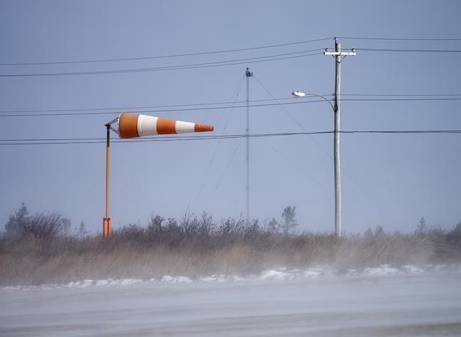
HALIFAX — Powerful and potentially damaging winds and heavy precipitation are forecast to hit the East Coast over the weekend, with hurricane-force gusts expected in Newfoundland and Labrador.
Environment Canada is calling for an extended period of strong gusts beginning Saturday evening and lasting into Sunday.
In Newfoundland and Labrador, where the strongest winds are expected to intensify on Sunday morning, gusts are predicted to run from 70 kilometres per hour to over 120 kilometres per hour over much of the island and along the coasts of Labrador.
"It's going to be a fairly prolonged event. These winds will be around for 12 to 24 hours for Newfoundland, and that's obviously a big concern," said Mike Vandenberg, a forecast for Environment Canada.
He said it's more normal for wind storms in the province to last just 12 to 14 hours, but in this instance the winds will pivot from southerlies to westerlies and continue on through Sunday.
Along the south and east coasts of the province there's potential for gusts as high as 140 kilometres per hour, said Vandenberg.
Meanwhile, Vandenberg said on the west coast of the Newfoundland there's the potential for cold rain to turn to snow, creating blizzard conditions overnight. Even more powerful winds and heavy snowfall is expected along the Labrador coast on Sunday, he said.
In Nova Scotia, southern New Brunswick and Prince Edward Island, there are wind gusts of between 70 and 110 kilometres per hour expected overnight and into Sunday morning.
Brennan Allen, a Nova Scotia-based forecaster with Environment Canada, said the strong winds will be seen around Nova Scotia, but even stronger gusts will hit northern Inverness County — an area of Cape Breton where winds usually are more intense.
He said Prince Edward Island will see less powerful gusts, as Nova Scotia will act as a "bit of buffer" from the winds.
There is also a forecast of heavy rainfall beginning in the afternoon Saturday in the Maritimes.
In northern New Brunswick, the rainfall will be mixed with several centimetres of snow, creating hazardous driving conditions until the storm abates later on Sunday morning and temperatures begin to drop.
This report by The Canadian Press was first published March 12, 2022.
Michael Tutton, The Canadian Press


