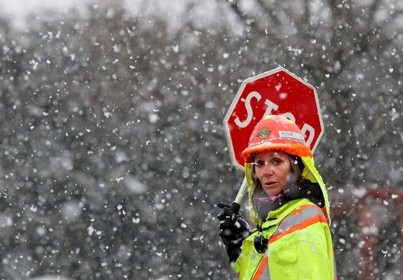
Tri-City residents should be prepared for some slush this week as Environment Canada predicts alternating snow, rain mixed with snow and rain for the next few days.
Snow is expected to begin late Tuesday (Nov. 29) afternoon but could turn to rain by Wednesday with the possibility of snow flurries on Thursday night and periods of snow on Friday and into the weekend.
Total accumulations are not provided and snow amounts will likely depend on elevations.
However, Environment Canada has issued a special weather alert for the Lower Mainland, including Coquitlam.
"A developing area of low pressure following this feature is forecast to reach the south coast on Tuesday night, potentially bringing significant snowfall accumulations to the area.
"Overnight on Tuesday, an increasing southeasterly flow will usher in warmer air and a transition from snow to rain is likely some time before Wednesday morning."
Still, residents are encouraged to shovel sidewalks and use ice melting products to eliminate slippery spots near their home or business.
Temperatures will remain cool, and dip below 0 in the evenings, according to Environment Canada's latest weather forecast.
In Coquitlam, city crews have begun their winter response and will be working 24/7 with public works management monitoring the situation closely to mobilize additional resources as necessary.
Plowing will begin on priority routes and residents are asked not to park on streets where snow clearing is taking place.
Coquitlam has implemented a number of parking restrictions to help city crews to plow streets clear of snow to make them safer for driving.
View the city's maps showing all areas affected by seasonal parking restrictions and learn about tips for preparing for winter on the Winterwise webpage.
Schools are expected to stay open. For information, visit School District 43's Emergency Information web page.


