Happy New Year, from Mother Nature.
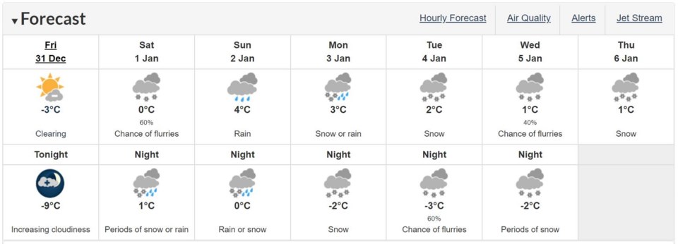
Cold days and a flurry of sudden weather changes are on the horizon for the Tri-Cities to kick-off 2022, including a risk of freezing rain and sleet on the weekend.
The predicted conditions are prompting a winter storm watch to be issued by Environment Canada.
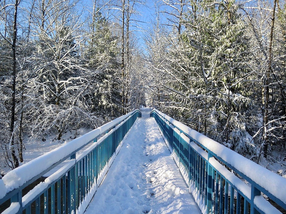
Yesterday (Dec. 30), Coquitlam, Port Coquitlam and Port Moody received an average of 25 cm of snow — more than what was originally forecasted — causing some traffic and transit delays for local residents.
As of 5 a.m. today (Dec. 31), meteorologists are now forecasting up to 10 cm of snow for the region starting tomorrow (Jan. 1, 2022), which more accumulation expected at higher elevations.
The national service adds freezing rain is a possibility for overnight Saturday and into Sunday morning (Jan. 2, 2022), with a gradual transition to regular rainfall that afternoon in the amount of up to 40 mm.
"The exact precipitation amounts and timing of the changeover to rain still remains uncertain at this point," reads Environment Canada's statement.
"Strong winds of 40 km/h gusting to 70 km/h will also develop early Sunday, possibly gusting up to 90 km/h near the Strait of Georgia."
Tri-City commuters should also be cautious as conditions could deteriorate quickly and a high potential for icy roads and surfaces.
As well, predicted snowmelt could cause localized flooding and water pooling in certain neighbourhoods.
In the days ahead, temperatures could stay between zero and 5 C starting Sunday and through the first week of January.


