An arctic outflow of extremely cold weather is set to descend on the Tri-Cities, with wind chill expected to make it feel as cold as - 25 Celsius Wednesday night.
Environment Canada has issued an arctic outflow warning to the entire Metro Vancouver region as outflow winds drive arctic air down valleys and toward the coast, bringing wind chill values between -15 C and -25 C.
Temperatures aren’t expected to rebound until later this week, according to Environment Canada.
“Minimize exposed skin with hats, scarves and mittens or gloves,” warns the national weather agency in its bulletin. “Ensure that shelter is provided for pets and outdoor animals.”
The extreme cold temperatures are part of a wider outbreak of arctic air expected to pour across Western and Central Canada. Environment Canada has issued extreme cold and arctic outflow warnings in jurisdictions from the B.C. coast to western Quebec.
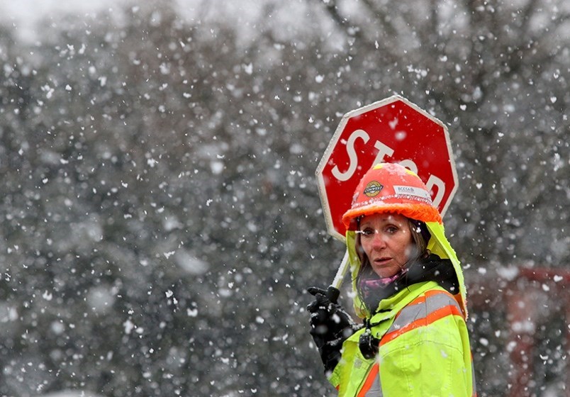
WHAT ABOUT SNOW?
The Weather Network is forecasting a mix of cloud and flurries for Coquitlam and the surrounding region Wednesday morning, Feb 10. That will give way to cloudy conditions with some sunny periods in the afternoon before the arctic air mass moves in.
However, as early as Friday night, snow is expected to begin falling in the Tri-Cities, with up to 13 centimetres forecast to fall over the weekend. By Monday, rising temperatures are expected to shift precipitation into a mix of rain and snow not expected to end until Wednesday, Feb. 17, according to the Weather Network.

