Metro Vancouver's climate should feel dramatically different after Valentine's Day.
A mix of sun and cloud is expected through Friday, Feb. 14, but clouds will start moving into the region overnight with a 30 per cent chance of showers.
Environment Canada Meteorologist Colin Fong told V.I.A. the region is finally getting a warmer system following a long stretch of unseasonably cold, mostly dry weather.
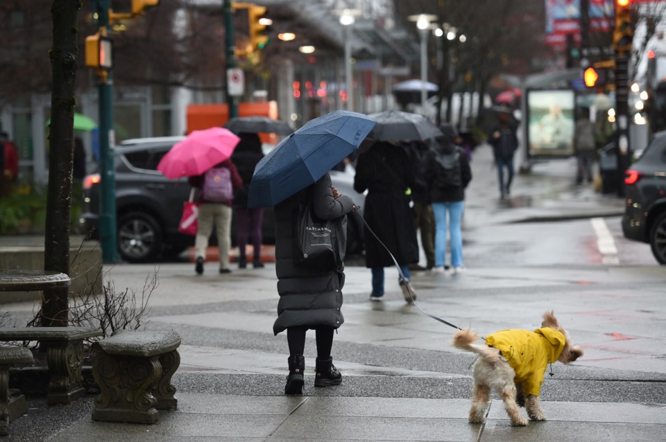
Rain is expected to start falling on Saturday morning, although some places in the Fraser Valley and areas at higher elevations may see flurries.
"Certainly in the deeper Fraser Valley, nestled in some areas, snow could linger," he commented. "On Saturday, it should rain at sea level, but as you get toward [somewhere like] Grouse Mountain it will continue to be snow."
A low-pressure system moving southwest off the Pacific will usher warmer air into the south coast, returning temperatures closer to seasonal averages. This storm is different than systems traversing the Pacific from the north, which tend to produce cooler temperatures in the Lower Mainland, explained Fong.
7-day Metro Vancouver weather forecast includes weakening Arctic air mass
Still, the Arctic air mass will gradually weaken through Saturday, meaning flurries or snow are possible at higher elevations. By Sunday, however, places with higher terrain may start to see rain as the warming trend continues.
The storm isn't expected to bring significant rainfall and won't meet the criteria for a warning.
"It will be more like a good soaking," he noted.
Heading into next week, the storm should ease into Monday but an active storm pattern is expected to continue. Each system rolling in off the Pacific should bring pulses of rain and warm air.
"The Arctic air that has settled is finally going away. It is almost like we will flip the switch," he said.
Environment Canada's weather models indicate a warmer signal through the end of February. The precipitation signal is less clear, although next week looks predominately wet.
Fong advises locals to "keep an eye on the forecast and keep your rain gear handy."
Stay up-to-date with hyperlocal forecasts across 50 neighbourhoods in the Lower Mainland with V.I.A.'s Weatherhood.


