MIAMI (AP) — A storm system that was brewing in the Gulf of Mexico earlier Saturday has strengthened into Tropical Storm Milton, with forecasters warning it could intensify into a hurricane headed to Florida next week.
Tropical Storm Milton is about 220 miles (355 kilometers) north-northeast of Veracruz, Mexico, the National Hurricane Center in Miami said in a 1:25 p.m. EST advisory.
Though no coastal watches or warnings were in effect, the hurricane center said the Florida Peninsula, the Florida Keys, Mexico's Yucatan peninsula and the northwestern Bahamas should monitor the system’s progress.
The storm is forecast to strengthen and bring the risk of life-threatening impacts to portions of Florida's West Coast next week, with hurricane and storm-surge watches likely being in effect Sunday. Parts of Florida are expected to have heavy rainfall beginning Sunday. The rainfall will bring the risk of flash, urban, and areal flooding, along with some river flooding.
“There is an increasing risk of life-threatening storm surge and wind impacts for portions of the west coast of the Florida Peninsula beginning late Tuesday or Wednesday. Residents in these areas should ensure they have their hurricane plan in place, follow any advice given by local officials, and check back for updates to the forecast,” the center said.
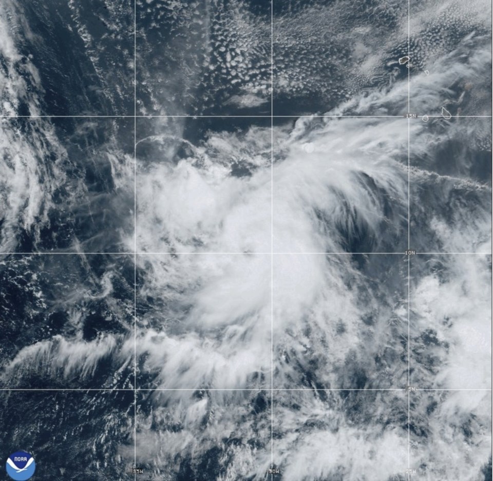
Looking further east, Leslie has strengthened into a hurricane in the Atlantic Ocean but isn’t threatening land, forecasters said.
The storm was located Saturday about 725 miles (1,170 kilometers) west-southwest of the southernmost Cabo Verde Islands and had maximum sustained winds of 75 mph (120 kph). There were no coastal watches or warnings in effect.
Meanwhile, Hurricane Kirk remained a Category 4 major hurricane, and waves from the system were affecting the the Leeward Islands, Bermuda, and the Greater Antilles, forecasters said. The storm's swells were expected to spread to the East Coast of the United States, the Atlantic Coast of Canada and the Bahamas on Saturday night and Sunday.
Forecasters warned the waves could cause life-threatening surf and rip current conditions.
Kirk was expected to weaken starting Saturday, the center said.
Though there were no coastal warnings or watches in effect for Kirk, the center said those in the Azores, where swells could hit Monday, should monitor the storm's progress.
Kirk was about 975 miles (1,570 kilometers) east-northeast of the northern Leeward Islands with maximum sustained winds of 130 mph (209 kph).
The storms churned in the Atlantic as rescuers in the U.S. Southeast searched for people unaccounted for after Hurricane Helene struck last week, leaving behind a trail of death and catastrophic damage.
The Associated Press


