A 4.2-magnitude earthquake struck off the coast of Vancouver Island on Wednesday — the latest and largest in a series of quakes in southwestern B.C. over the past month.
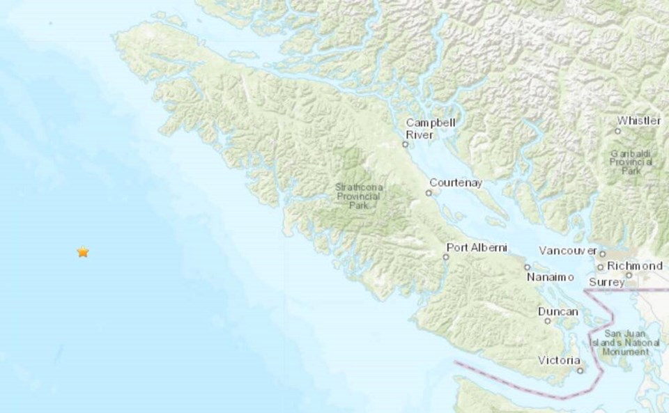
The earthquake was recorded at 8:35 a.m. at a depth of 10 kilometres, with the epicentre about 210 kilometres west of Nootka Sound, according to Earthquakes Canada.
A 2.6-magnitude earthquake was also recorded at 1:25 p.m. Wednesday at a depth of 33 kilometres about 27 kilometres southwest of Tahsis.
The quakes follow a 3.8-magnitude shaker in Haro Strait about 4 a.m. on Sept. 26. That earthquake, centred 11 kilometres east of Sidney and almost 55 kilometres beneath Earth’s surface, was felt by hundreds of people as far north as Nanaimo and Parksville and south to Washington state.
According to data compiled by Earthquakes Canada, Wednesday’s earthquake off Nootka Sound was the 60th seismic event over the past month in southwestern B.C. — and the largest measured during that time.
John Cassidy, a seismologist with Natural Resources Canada, said earthquakes are “fairly common” in the Nootka fault zone, but the force of Wednesday’s larger earthquake is statistically significant. He said on that fault, only 128 earthquakes of 4.2 or greater have been recorded in the last 20 years.
Cassidy said the earthquake occurred in an area where the Juan de Fuca plate and the “much younger” Explorer plate are moving at different speeds, both toward Vancouver Island. The Juan de Fuca plate is moving at 4.5 centimetres a year, and the Explorer plate at 2.5 centimetres a year, he said.
That difference in speed causes earthquakes along the fault zone, which encompasses an area of between 30 and 40 kilometres, he said. “That two-centimetre difference over 100 years would create two metres in differential movement, so it creates a lot of seismic activity.”
Cassidy said neither event caused damage or triggered tsunami warnings on Wednesday and he has not received any reports of the earthquakes being felt by the public because of their depth or remote location.
The Haro Strait earthquake late last month was felt even though it struck 55 kilometres below the surface because of its proximity to large populations of people, said Cassidy.
The Canadian Earthquake Early Warning system, which has been active for a month, is triggered by earthquakes with a magnitude of 5.0 and larger. The system detects an earthquake immediately after it occurs, then issues an alert that can give seconds to tens of seconds of warning before strong shaking starts.
Alerts are sent through the National Public Alerting System and will appear on TV, radio and compatible cellphones.
Cassidy said a magnitude-5.0 earthquake is “when we would expect to see damage.”
He said the recent activity is a reminder that the region will have small earthquakes every day, earthquakes that are felt every month or so, and larger ones that cause some damage about every decade.
The temblor comes weeks before the Great BC ShakeOut earthquake drill on Oct. 17 at 10:17 a.m. The annual event encourages people to drop, cover and hold on as practice in case of an earthquake.
>>> To comment on this article, write a letter to the editor: [email protected]


